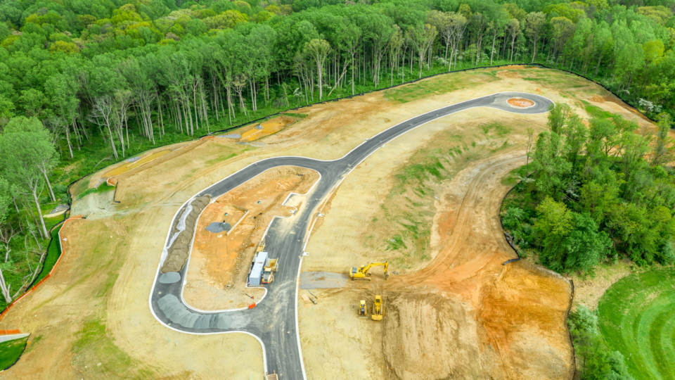
Land Surveying
Cardinal’s land surveyors use the latest technology to create incredibly accurate surveys, maps, and stakeouts for a variety of clients, including residential and commercial builders, general contractors, government agencies, and homeowners. To request a residential survey, please click the button below.
Cardinal Land Surveying Services:
- 3D Imaging
- Aerial Mapping
- ALTA Surveys
- Boundary Plats
- Easement Plats
- Elevation Certificates
- Flood Plain Certificates
- House Locations
- Physical Surveys
- Property Stakeouts
- Subdivision Plats
- Topographic Maps
- Utility Location
- Wetland Location